October 08, 2026
An Ordnance Survey map is not a treasure map, but it is the next best thing. Follies are odd by design: a tower on a ridge, a sham ruin at the end of a field, a gateway that leads nowhere. Many have vanished from local memory or sit half-smothered by trees. The OS map will not always name them, but it will show the shape of the land, the paths that reach them and the clues that suggest something worth a detour.
Choose the right scale and edition
For folly hunting, start with the OS Explorer series at 1:25,000. This scale shows field boundaries, small buildings, footbridges, gates and access land in enough detail to plan a route to a specific grid reference. The Landranger series at 1:50,000 is useful for seeing the wider estate landscape, but it generalises many small structures.
Use the current edition, and check the key. Symbols and access information change between editions. A paper map in a clear plastic case remains the most reliable tool in wind and rain; a digital map on a phone is handy for checking your position, but batteries fail. If you use both, mark your target grid references on paper before you set out.
Read the key for folly-shaped clues
Open the map key and look beyond the obvious. Follies appear under several labels, and the wording matters. On Explorer maps you may see:
- Folly or Folly (dis) — the dream find, though not every folly is labelled.
- Tower, Prospect Tower, Monument or Mausoleum — often built for display as much as use.
- Ruin, Castle, Fort or Beacon — some are genuine antiquity, some are Georgian or Victorian confections.
- Summerhouse, Icehouse, Boathouse or Grotto — smaller structures that can survive unnoticed in parkland.
- Disused or dis beside a building — a site may be overgrown or partly demolished.
Names are just as useful. Folly Wood, Tower Plantation, Monument Hill, Castle Field and Beacon Lane all suggest a structure or a designed viewpoint. None guarantees a folly, but each narrows the search.
Use contours to predict where a folly sits
Follies were built to be seen or to see. That makes contours your friend. Look for a knoll, a ridge end or a promontory above a valley. On a 1:25,000 map, a small closed contour or a spot height with a tight cluster of rings often marks a deliberate viewpoint. If a footpath curls around that knoll, or an old avenue points towards it, the chances improve.
Check the surrounding parkland. Estate boundaries, long straight drives, clumps of trees and ha-has are all designed features. A folly might sit at the end of an avenue, on the axis of a house, or on the edge of a deer park. Even if the house has gone, the map may still show the skeleton of the landscape that produced it.
Compare old maps to find the lost ones
Not every folly survives, and not every survivor is marked. This is where older maps earn their place. Compare your current Explorer sheet with an older Ordnance Survey map, such as the County Series or later revisions. A small building shown in 1890 but absent today may have been a folly, a lodge or an agricultural shed. The label — or the shape — will help you decide.
Local record offices, archives and some online map collections hold tithe maps, estate plans and early OS sheets. Look for names that have disappeared from modern maps: a tower, a temple, a summerhouse or a ruin. If the site is now woodland, the current map may show only a clearing or a faint earthwork. Grid references from old maps let you visit the exact spot and check the ground.
Follow rights of way and access points
A folly you cannot reach is only a rumour. OS maps show public rights of way clearly, but you need to know what you are looking at. In England and Wales, footpaths are for walkers; bridleways are for walkers, horse riders and cyclists; restricted byways and byways open to all traffic have their own rules. Access land is usually marked with a tint and a symbol — check the key on your edition.
Plan your approach from a legal access point. Village lanes, lay-bys, public car parks and footpath junctions are good starting places. Look for gates, stiles, bridges and crossing points, then trace the path to the nearest point to your target. If the folly sits on private land, view it from the right of way. Do not climb walls, cross crops or enter farmyards without permission. In Scotland, access rights are broader, but the Scottish Outdoor Access Code still applies. If in doubt, ask at the farm or estate office.
Turn map marks into a route
Once you have a likely grid reference, build a short circular walk around it. Mark the reference, note the nearest path and identify a backup viewpoint in case the first is overgrown. Then follow these steps:
- Copy the grid reference and a rough sketch of the path onto paper.
- Set the map with a compass, or use landmarks to orient yourself.
- Walk to the nearest legal viewpoint and scan with binoculars before you approach.
- Look for subtle signs: a change in stone, a mound, a line of trees, a gap in a wall.
- Record what you find, but leave the structure as you found it.
Follies are often fragile. Do not climb them, prise at stonework or light fires. Take photographs from a safe distance and report serious damage to the landowner or local authority.
A practical plan for a folly-hunting day
Pick an area with a mix of parkland, woodland and high ground. Check the current Explorer map against an older sheet, circle every possible folly-shaped label, and choose two or three targets within walking distance of a public path. Write down grid references, access notes and a rough route. Check the weather, tell someone where you are going, and carry water, a map, a compass and a charged phone.
Start early, walk the rights of way, and treat every unexplained mound or tower as a question rather than a certainty. The best finds are often the ones the map only hints at: a scrap of Gothic wall in a plantation, a prospect tower above the trees, a gateway with no fence. With an OS map in hand, you are not just walking. You are reading a landscape that was designed to be read.
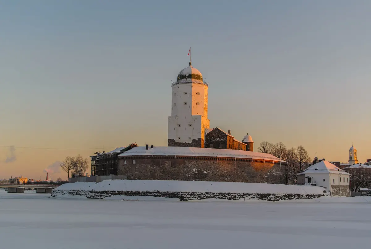
Photo: beasternchen / Pixabay